National Food Security and Risk Informed Land Use Planning Study
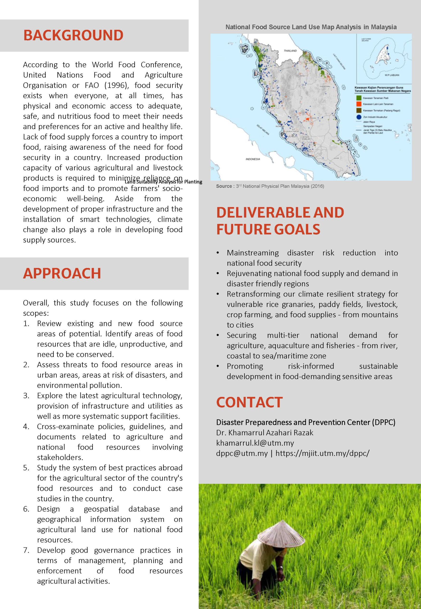
The National Land Use Development Planning for Food Security conducted by PLANMalaysia aims to prepare a land-use master plan for the conservation, preservation, rehabilitation, and enhancement of the national food supply area by 2040. The study area encompasses Peninsular Malaysia and the Federal Territory of Labuan, particularly the rice granary areas, livestock areas (pastures), Aquaculture Industrial Zone (ZIA), and other food source areas identified throughout Peninsular Malaysia and the Federal Territory of Labuan. This study identifies abandoned and new agricultural lands that have the potential to serve as food source areas for the country, analyses issues associated with agricultural development, as well as recommend good governance practices based on the latest approaches and technological advancement of the food resources and agriculture sector.
DPPC, MJIIT, UTM is leading the Disaster Risk Assessment & Management Sector to produce the National Landslide Masterplan on Risk-informed Food Security in 2040. The project is currently in its final stage of report completion.

