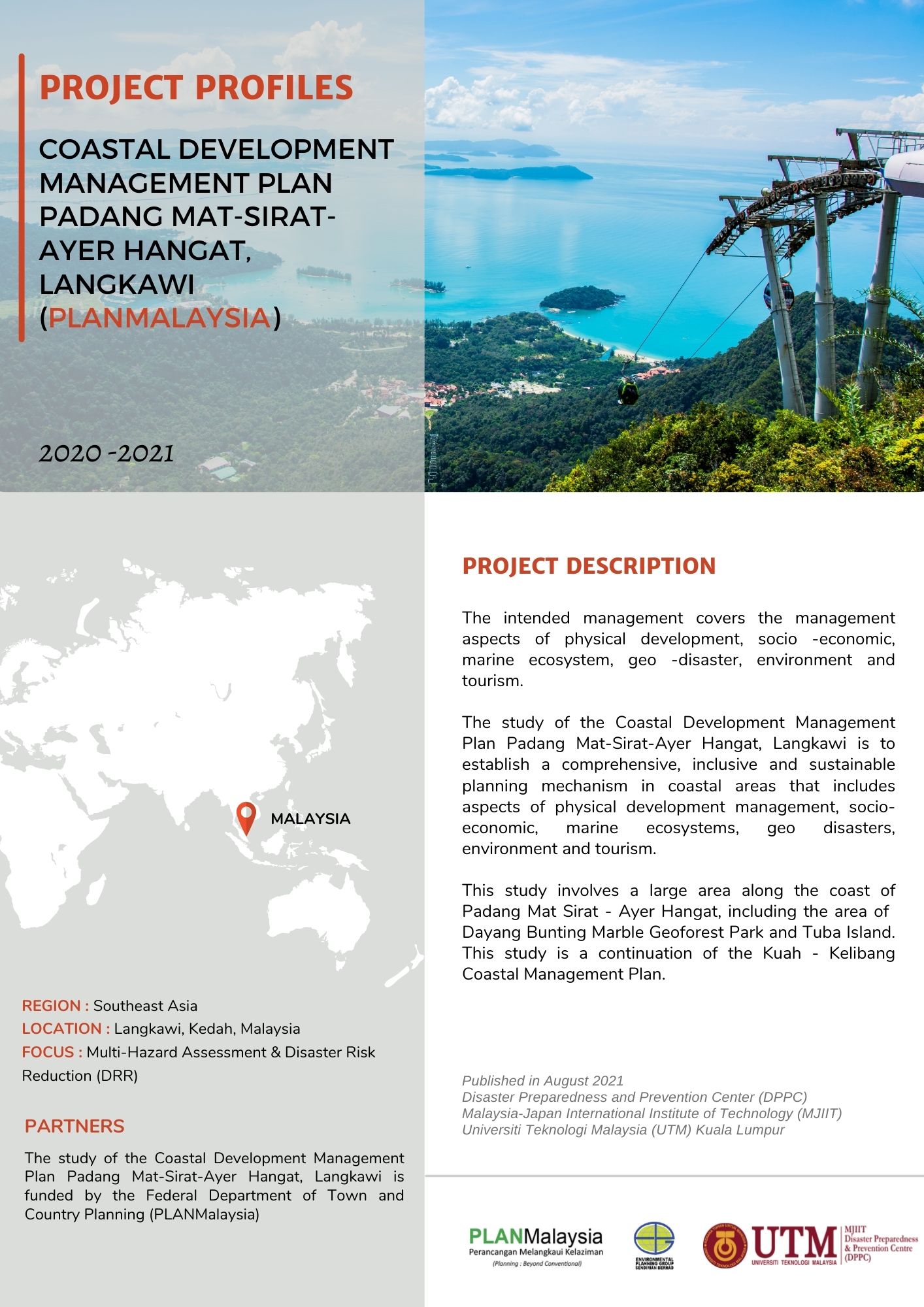
Coastal Development Management Plan Padang Mat-Sirat – Ayer Hangat, Langkawi
The intended management covers the management aspects of physical development, socio -economic, marine ecosystem, geo -disaster, environment and tourism.
The study of the Coastal Development Management Plan Padang Mat-Sirat-Ayer Hangat, Langkawi is to establish a comprehensive, inclusive and sustainable planning mechanism in coastal areas that includes aspects of physical development management, socio-economic, marine ecosystems, geo disasters, environment and tourism.
This study involves a large area along the coast of Padang Mat Sirat – Ayer Hangat, including the area of Dayang Bunting Marble Geoforest Park and Tuba Island. This study is a continuation of the Kuah – Kelibang Coastal Management Plan.

